Category: Parks

  • Spring in Parc Lafontaine

    Having been born an American, I grew up thinking of city parks as somewhat sinister places. Manhattan and Boston, the two cities I knew well, have beautiful parks but they generally aren’t places where you ignore danger, and that was especially true in the period when I was in those cities. So coming to Montreal took an adjustment. I remember while still a tourist here asking a policeman if a certain park was safe to walk across at night. He gave me a baleful look and said “you must be an American”. It wasn’t so much that he was being dismissive, just making a sad observation.

    A different, more American vibe – Central Park in Manhattan on a March day.

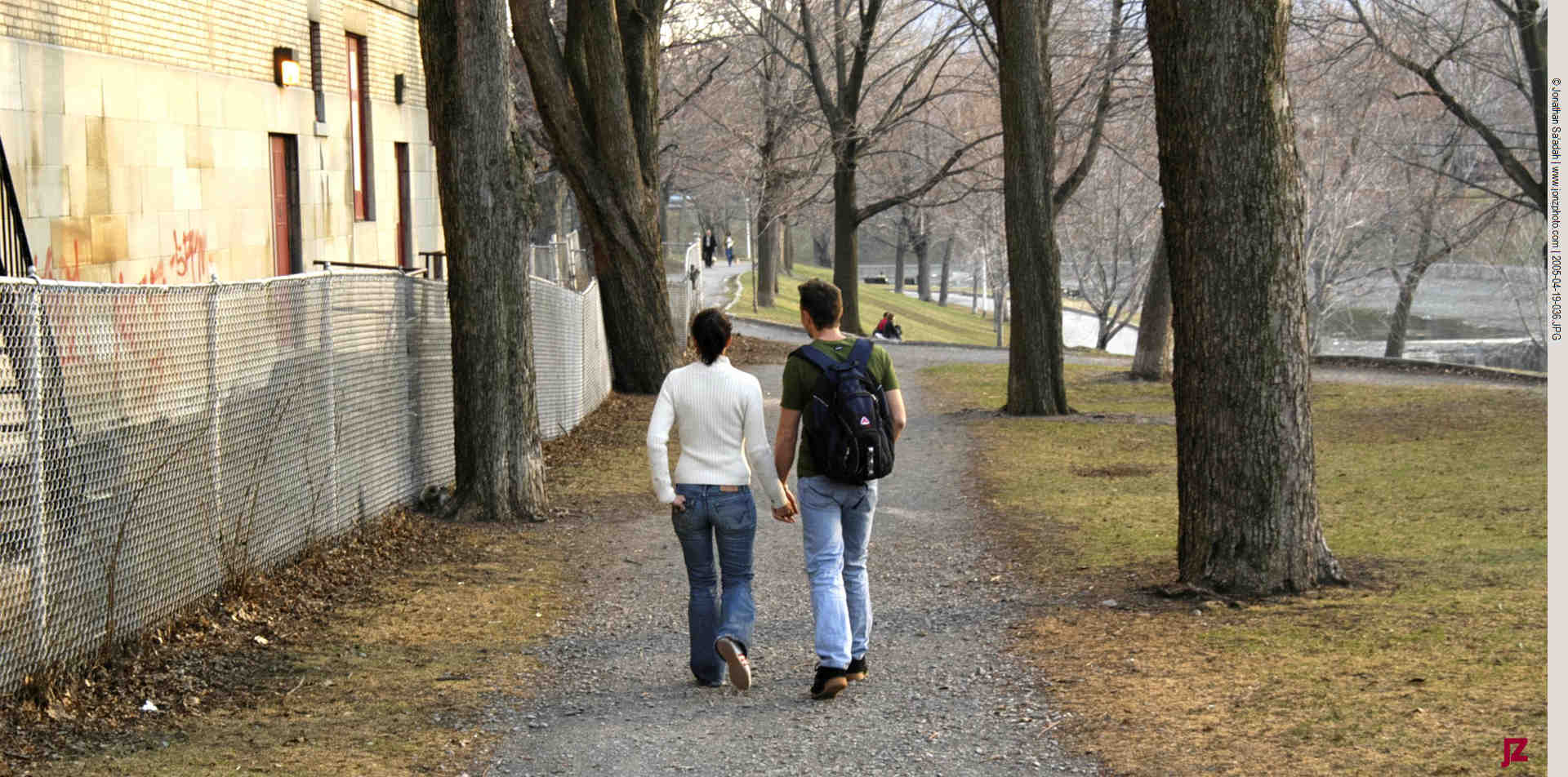
    So the idea of a city park being a public space safe to walk in alone late at night, or a place where I could sit on a bank and leave the world behind for a bit, wasn’t something that came naturally. On the other hand, I’ve had no problem learning new behaviors! We were lucky that when we moved to Montreal. Our first home bordered on one of these big parks, Parc Lafontaine, and it was very much part of our daily life for the sixteen years we were its neighbor. I came to know it well; it was like a friend who was always there.

    The Park Comes Alive

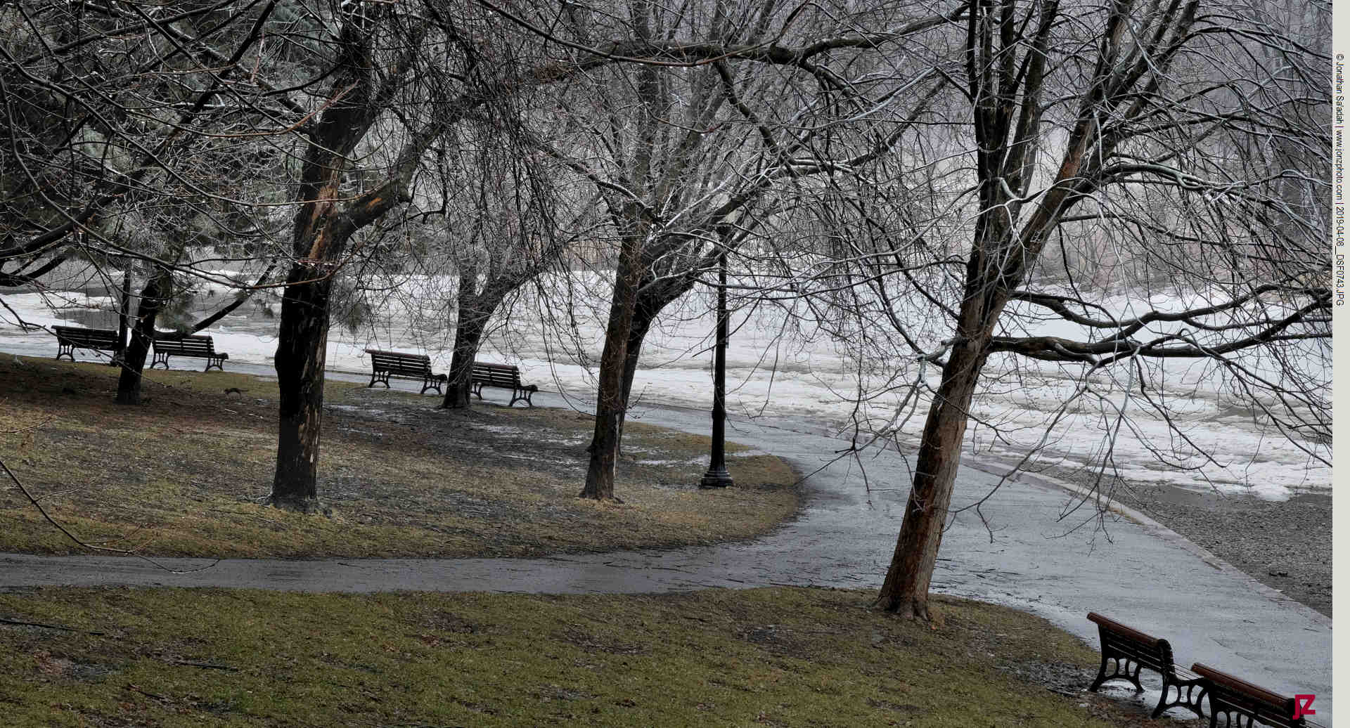
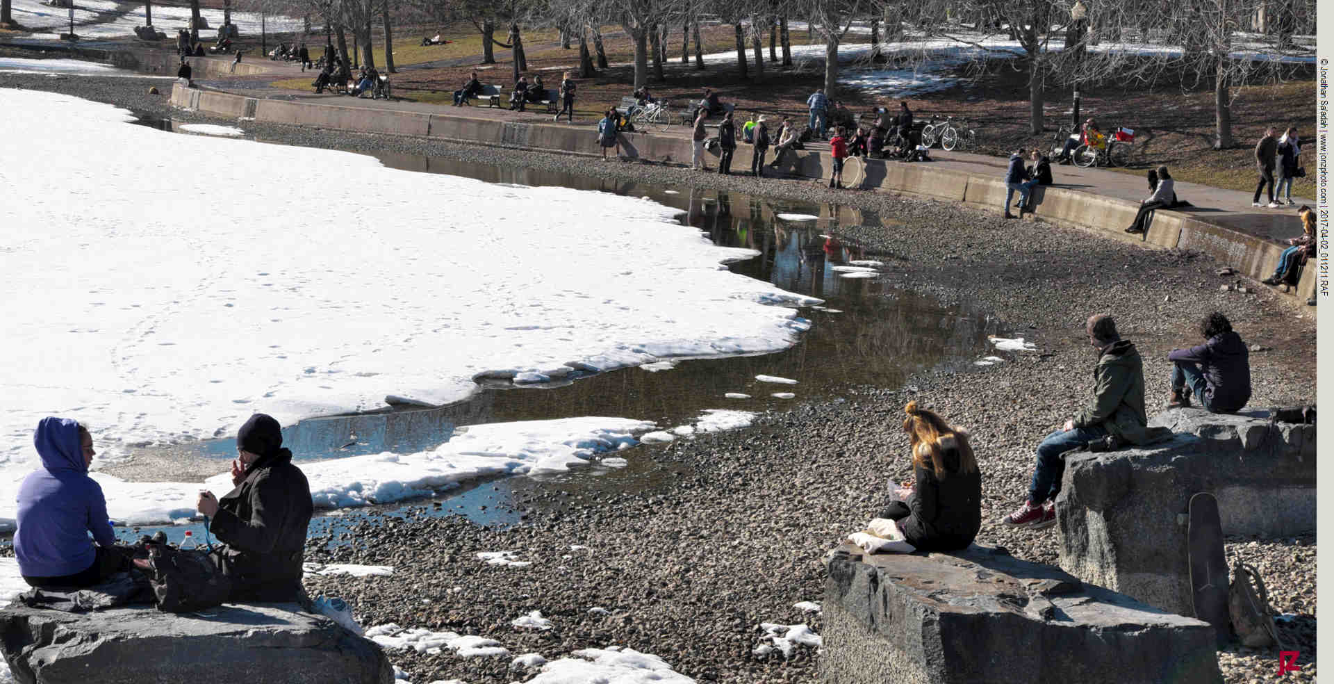
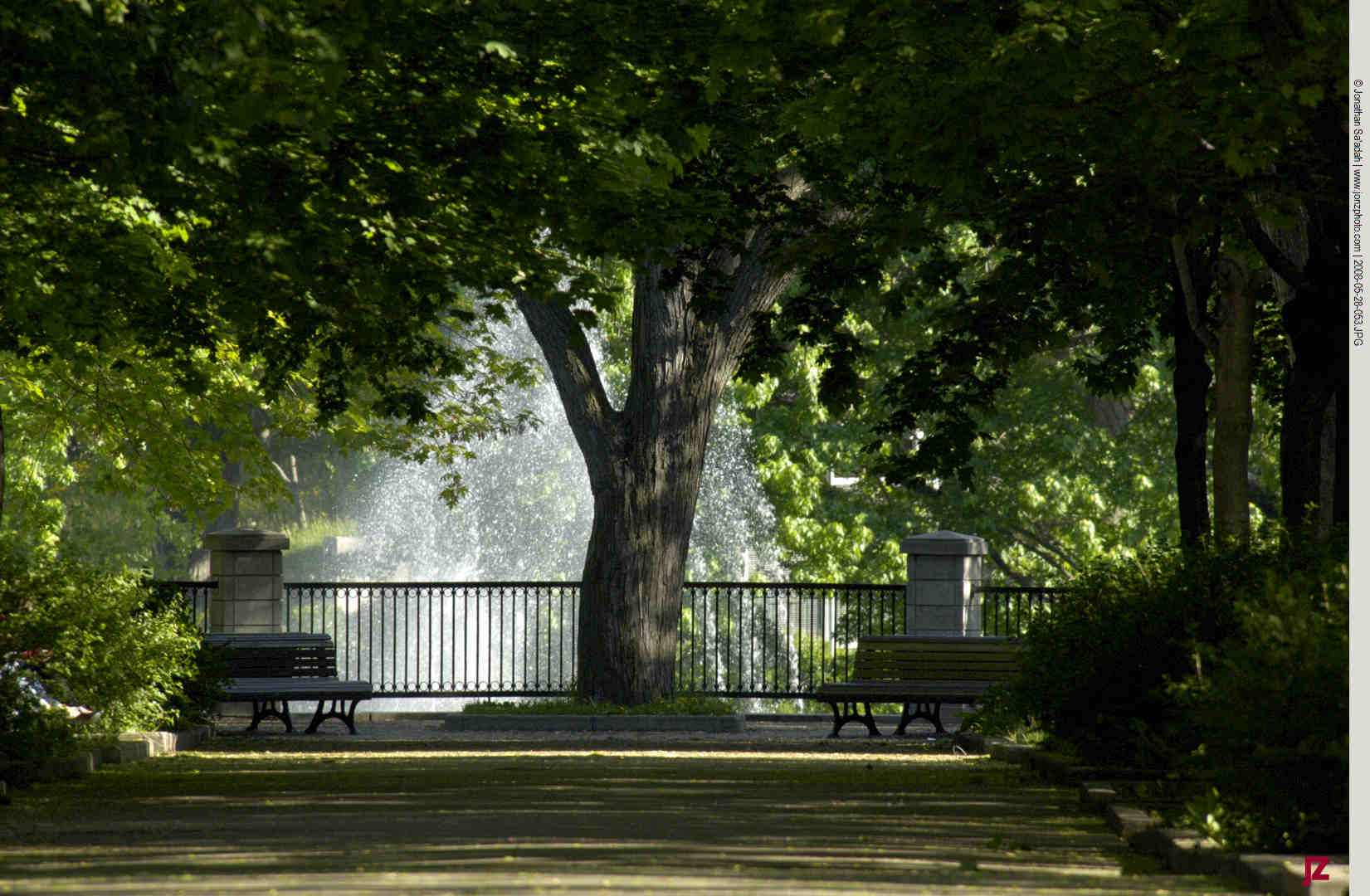
    Parc Lafontaine in spring feels less like a sudden transformation and more like a gradual, slow return. In early April, the park is still in transition—patches of snow linger in shaded areas, the ponds are empty and raw, and the trees remain bare. But even then, there’s a visible shift. The light softens, the paths reappear slippery with mud, and the park starts to reclaim its role as one of Montreal’s most lived-in public spaces.

    Located in the Plateau, Parc Lafontaine has been part of the city’s fabric since the late 19th century, when Montreal acquired the land and began converting it from farmland into a public park. Before that, it belonged to the Logan family, and its open, cultivated character still echoes in the park’s layout today—broad lawns, structured paths, and a landscape that feels designed to be shared.

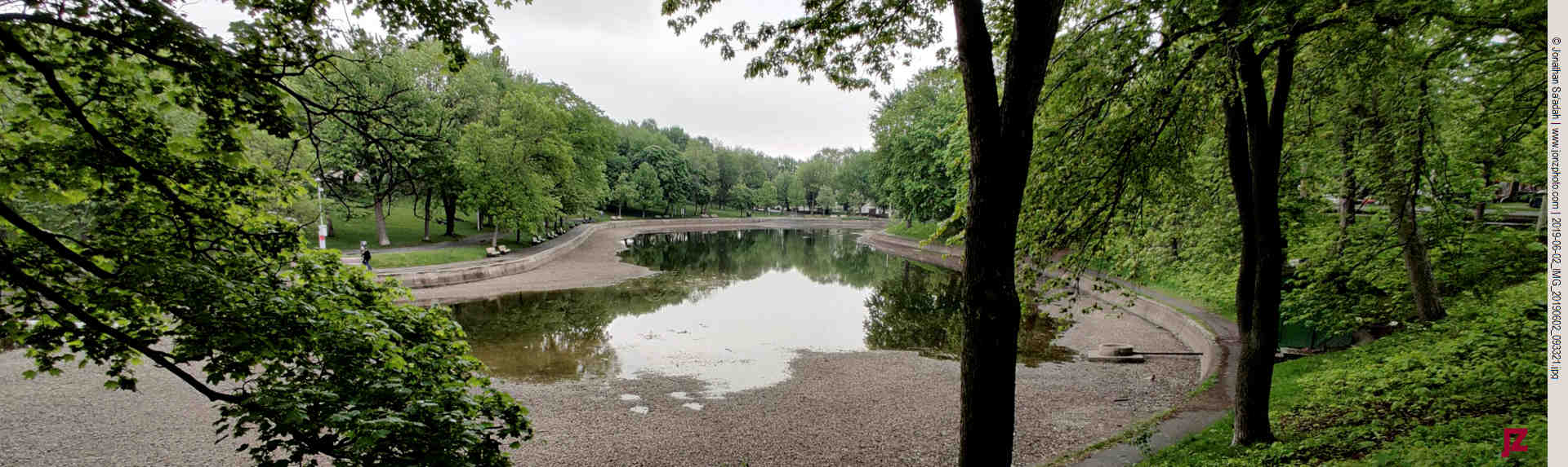
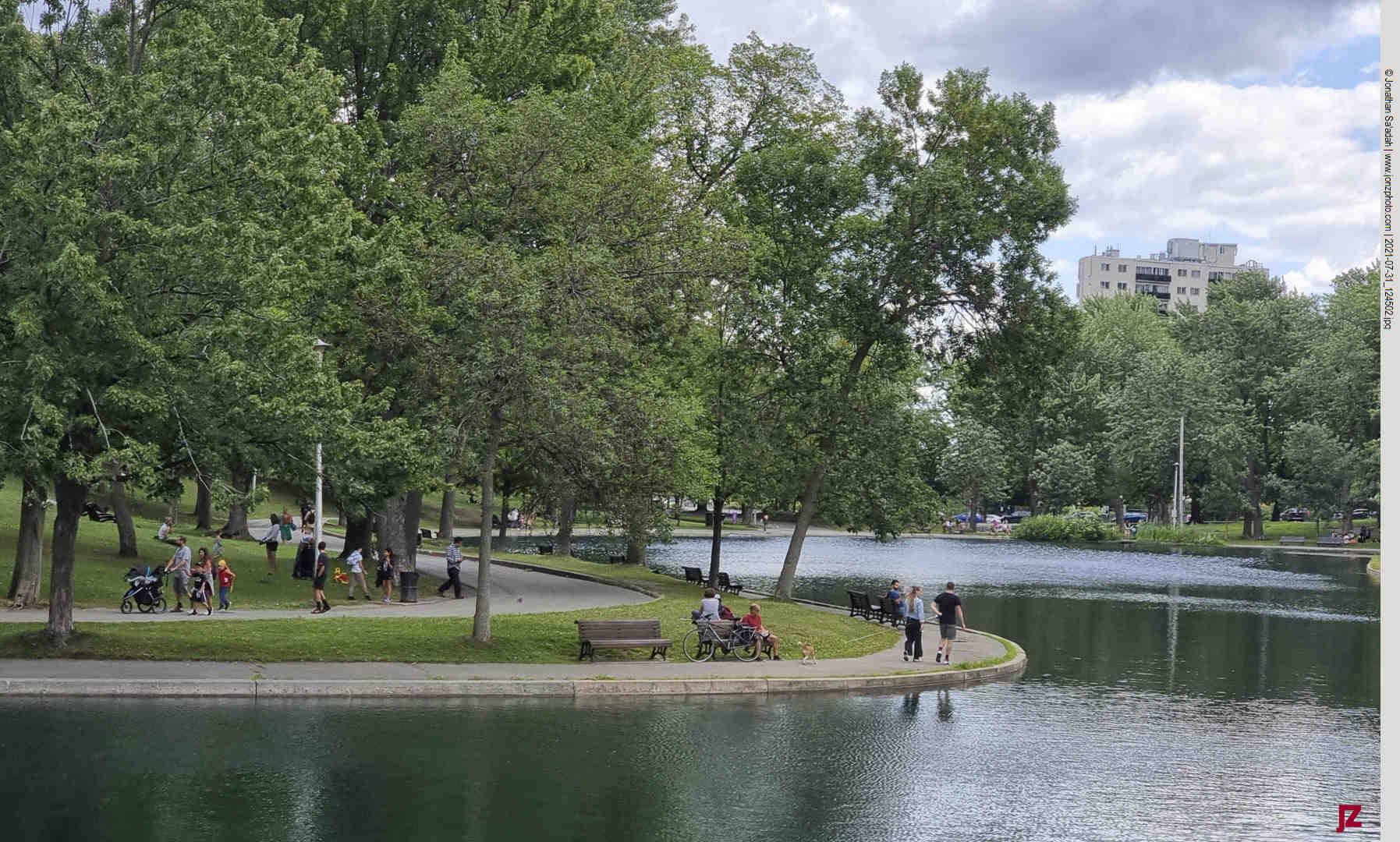
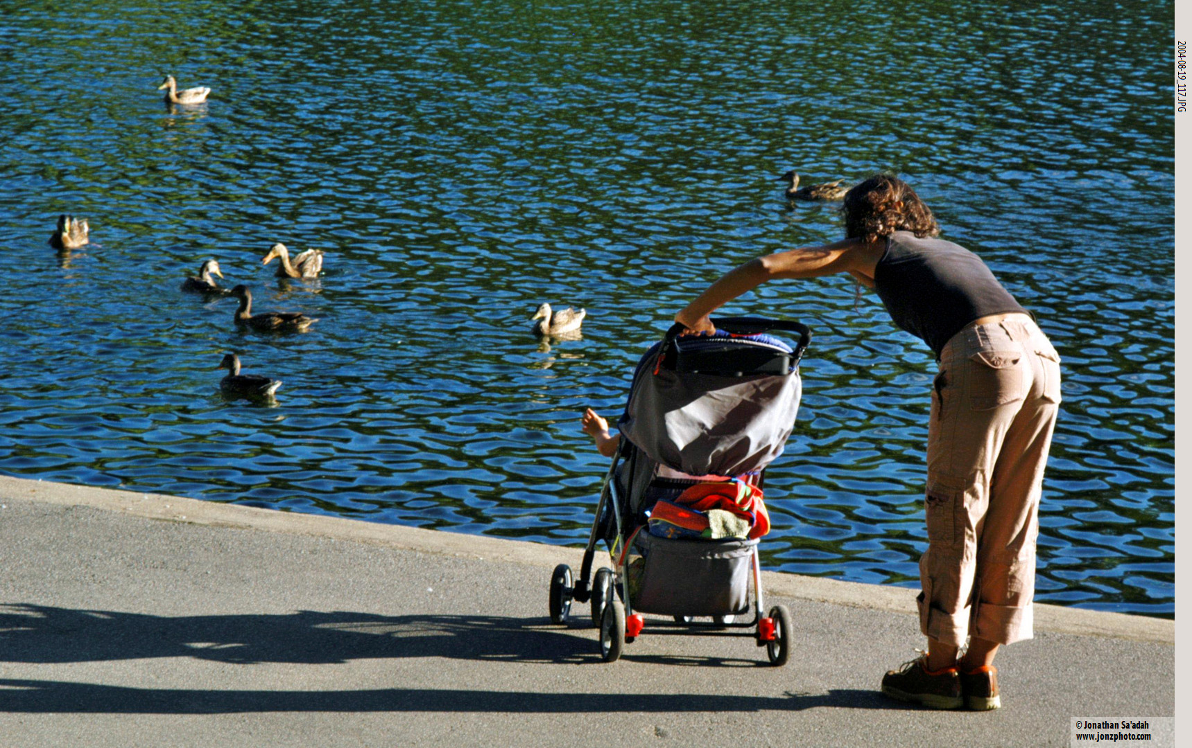
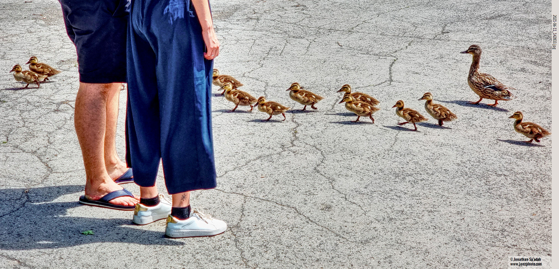
    By May, the seasonal change is fully in swing. Trees leaf out in bright green, the two central ponds are refilled, and the park’s paths are coming back to life. Runners, cyclists, and pedestrians fall into familiar patterns, while others settle onto the grass, reclaiming it from snow and ice. The park’s footbridge becomes again a natural gathering and vantage point—especially for photographers and anyone watching the light shift across the surface of the ponds.

    Serving Many Purposes

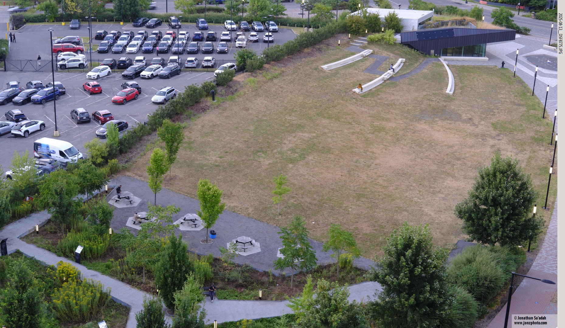
    One of the defining features of Parc Lafontaine is how it blends recreation with culture. Near the eastern side of the park sits the newly rebuilt Théâtre de Verdure, an open-air performance space first constructed in the 1950s. It has hosted decades of concerts, plays, and community events, and while its programming has fluctuated over the years, it’s an important cultural landmark in the city.

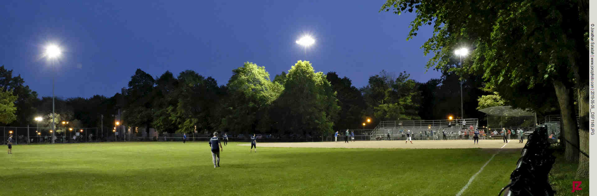
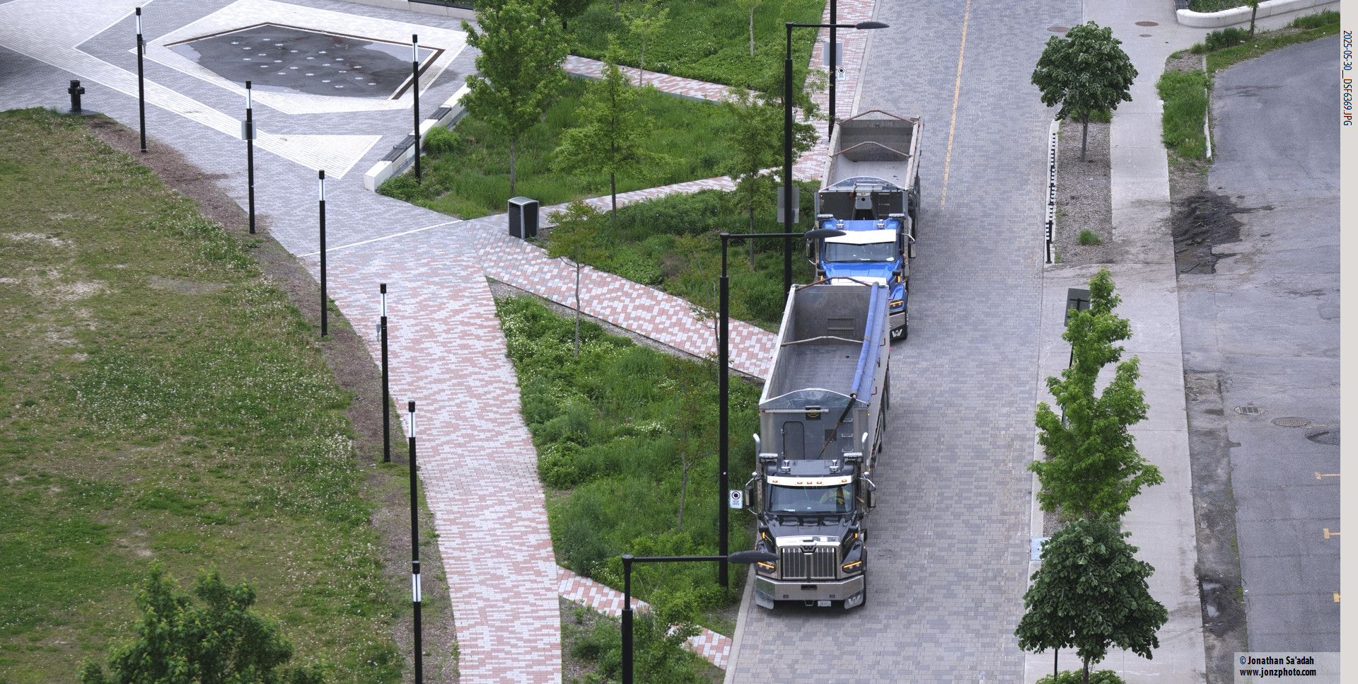
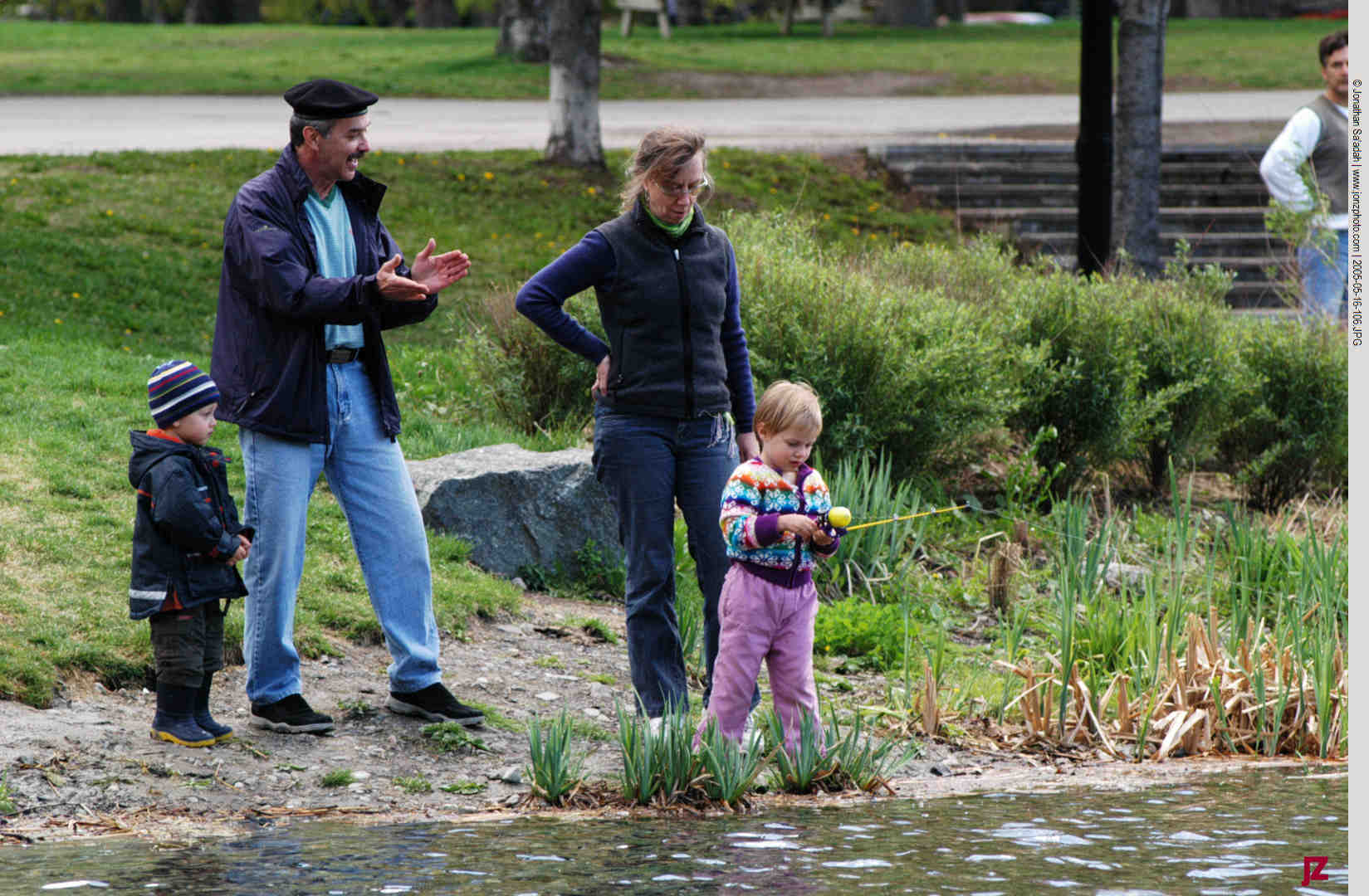
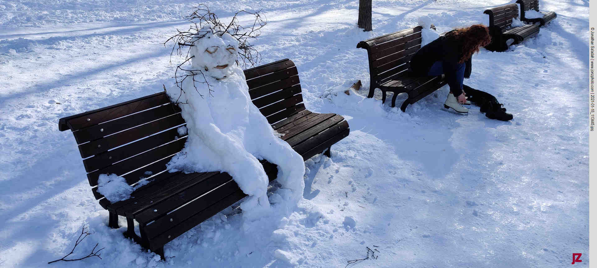
    The park serves many functions. During COVID the park rescued me and thousands of other people from enforced confinement. The city maintained wide walking paths through the snow, and a network of groomed trails for cross country skiers. It felt more like Helsinki than Montreal but it helped a lot.

    Spring also brings smaller, sensory details that define the experience of the park. Lilacs, pussy willows, and catalpas bloom adding a strong, unmistakable scent to the air. The soundscape shifts as well—less wind, more conversation, music, and the ambient rhythm of daily life. What was quiet and sparse in winter becomes layered and active, without ever feeling overwhelming.

    The park’s name itself points not to a fountain, which is what most people think, but to a historical character. It honors Louis-Hippolyte Lafontaine, a central figure in 19th-century Canadian politics and a key advocate for responsible government.

    What stands out most in spring is how naturally Parc Lafontaine accommodates different kinds of use. It’s not a park designed around a single activity or identity. Instead, it supports people having a wide range of experiences at once—exercise, socializing, quiet observation, enjoying cultural events—all unfolding within the same space. That flexibility is part of what makes it so attractive.

    By late afternoon, especially on clear days, the park settles into a rhythm that feels distinctly Montreal. The light warms, the pace slows, and the space fills without feeling crowded. It’s a time when the park is neither empty nor busy, but balanced—fully in use, yet still open enough to move through comfortably.

    Spring doesn’t dramatically redefine Parc La Fontaine. Instead, it reveals it—restoring its textures, its patterns, and its role in the daily life of the city.

  • The Ghosts of Chapultepec

    The Ghosts of Chapultepec

    Mexico City skyline with Chapultepec Castle, center.

    Each time we’ve visited Mexico City we’ve moved between different neighborhoods. This trip we settled down in a decidedly affluent section, called Polanco, which borders on Chapultepec Park. The park is a huge, mostly forested space, which occupies an important position in the city. Physically it’s roughly in the center of the metropolis, but historically it has a long narrative that is hidden from the casual eye.

    A Snowy Egret in one of Chapultepec’s lakes.

    Walking through it has an eerie feeling. Yes, it’s inhabited by a lot of public buildings and institutions, but lurking under the surface there’s more to it. Walking under the tall trees of Chapultepec, there’s a feeling of ghosts watching you. Today it’s full of families, street vendors, and paddle boats, but the paths weave through a landscape shaped by invasion, survival, and resistance. The Spanish conquest is there, written into the stones, hills, and trees,

    A sacred hill turned seat of power

    Seen from the vantage point of the Castle, the park occupies a central position in the city.

    Long before the first Spanish soldiers saw the Valley of Mexico, Chapultepec Hill was sacred ground for the Mexica (Aztec). It was a royal retreat, a place of springs and ahuehuete trees (a type of cypress) where rulers came to rest and perform ceremonies. When the Spanish invaded, this forested hill became part of the battlefield of 1521, and later, the perfect lookout from which to control a conquered city.

    Chapultepec Castle, which now crowns the hill, was built in the 18th century as a symbol of colonial and later national power. Seen from below, the fortress on the skyline is a reminder of how Spanish rule tried to place itself above the world the Mexica had built. Yet the forest at its feet, still filled with life, recalls a much older relationship to this land – one rooted in water, trees, and ceremony rather than walls and cannons.

    A new city on top of an old one

    The green roofs are over excavation sites of Templo Mayor, just adjacent to the Metropolitan Cathedral and the National Palace. The Zócalo (main square) is just visible in the centre right, the Cathedral spikes up above the buildings on the right, and the National Palace is the long flat building in the center, just adjacent to the the excavations.

    A short metro ride from the park, the Centro Histórico makes the violence of conquest visible in stone. After the fall of Tenochtitlan, the Spanish tore down much of the Mexica capital and used its stones to build their own city. The massive cathedral that dominates the Zócalo stands where important sacred buildings once rose, its walls literally made from the ruins of temples it replaced.

    The Metropolitan Cathedral towers over the Templo Mayor excavations, the walls of which are visible in the foreground.

    Standing in the plaza, you can see two worlds at once. On one side, the cathedral bell towers and the presidential palace represent the institutions Spain introduced – Christianity, monarchy, and European law. On the other, just behind a low fence, the excavated ruins of the Templo Mayor reveal the foundations of Mexica religious and political life. The two sites almost touch, but they do not blend; that gap between them holds centuries of conflict, forced conversion, and survival.

    Epidemics, forced labor, and broken worlds

    On the third floor of Diego Rivera’s Anahuacalli Museum, the room he hoped to have as his studio. He died before it was completed, but it now stands as a foundational display of Mexico’s cultural wealth.

    The Spanish invasion hit indigenous communities with more than swords and cannons. Within a century of first contact, up to 90 percent of the population in central Mexico died (plunging the indigenous population from 20-25 million people, to 1-3 million), mostly from epidemic diseases like smallpox and cocoliztli (a particularly lethal viral or mixed-cause hemorrhagic disease), made worse by famine and war. Survivors were pulled into the encomienda and later hacienda systems, where their labor and tribute supported Spanish landowners and the colonial state.

    Land that had been held and worked communally before the conquest was carved up, privatized, or simply seized. Indigenous religions were suppressed, temples demolished, and a racial hierarchy put in place that unsurprising pushed indigenous people to the bottom of society. These structures didn’t disappear with independence; they laid the groundwork for inequalities that still shape Mexico today.

    Everyday resistance in the present tense

    As soon as the steel barriers went up around the National Palace people started covering them with graffiti as if to say “you can exclude us physically, but not our voices – we are here”.

    And yet, every time you walk through Chapultepec on a Sunday or cross the Zócalo on a busy afternoon, you’re seeing another side of this history. Despite centuries of pressure, many indigenous communities have kept their spirit, languages, festivals, and communal ways of organizing land and life. People from Oaxaca, Guerrero, and beyond come to the capital to for many reasons – to work, protest, study, and sell food and crafts – at the same time bringing their cultures into the city’s plazas and parks.

    The woman taking care of her child near the National Palace, the family resting under an ahuehuete in Chapultepec, the musician playing traditional melodies in the Zócalo – each of them have survived conquest, epidemics, and attempts at erasure. Their presence is a reminder that the impact of the Spanish invasion is not just a tragic past, but exists in the present.

    This is what makes photography so meaningful to me here, it’s not just capturing pretty views. I see a city built on another city, a sacred hill turned fortress and subject to different battles, a people who move through streets laid out to control their ancestors that they now claim as their own through relentless protest. Five centuries after the first Spanish soldiers crossed into this valley, the story continues and is visible. I’m almost an irrelevant part of it, but still there’s a quiet remembering whose land this has always been, and the observant viewer will see it.

  • Savin Rock and Its Flying Horses

    Savin Rock and Its Flying Horses

    My family moved from Vermont to near New Haven, Connecticut in 1964. I was just starting to consider myself a photographer and I would often explore around the city with camera in hand. It was during one of those expeditions that I found the Savin Rock carousel. The way I was exploring around with my camera wasn’t too different from what I do now except that in those years I was rigidly dedicated to black-and-white photography, which actually was a shame with a subject as colorful as these horses.

    I remember Savin Rock in two guises: a brightly colored hill of red clay that overlooked the city, and a desultory semi-abandoned amusement park that was on the water’s edge down in the dock area. It was there that I found this magnificent merry-go-round, known officially as PTC No. 21, which began its life in 1912.

    The Golden Age of Savin Rock

    In the early 1900s Savin Rock was a carousel lover’s paradise. Beginning in the 1870s, the resort attracted millions of visitors annually with its mile-long midway packed with roller coasters, fun houses, and an extraordinary collection of carousels. At its peak in 1919, Savin Rock welcomed 1.2 million visitors a year, rivaling even Coney Island.

    The park was so rich in carousel history that it housed at least a dozen major carousels throughout its existence. But among all these magnificent machines, PTC No. 21 would become the most famous – affectionately known to generations of riders as the Flying Horses.

    Historical photo: Handwritten note on photograph: “World’s Finest Carrousel with its Mechanics, Taken Labor Day 1912. Built by Phila Toboggan Co Phila Pa” (Photographer unknown)

    A Carousel is Born: 1912

    The Philadelphia Toboggan Company manufactured PTC No. 21 in 1912, during the golden age of American carousel production. This wasn’t just any carousel – it was a four-row masterpiece that arrived at Savin Rock as part of Fred Wilcox’s Long Pier. The timing was perfect, as carousel innovation was revolutionizing the amusement industry. These were truly different times.

    Just five years earlier, in 1907, the famous Murphy brothers had introduced “jumpers” – horses that moved up and down – to Savin Rock carousels. This innovation forced every other carousel owner to upgrade their rides to remain competitive, and Fred Wilcox’s decision to order the spectacular PTC No. 21 was likely a direct response to this carousel arms race.

    Surviving Disaster: The 1936 Flood

    PTC No. 21’s most dramatic chapter came in 1936 when a major hurricane hit New England, causing significant damage. For many antique rides, such destruction would have meant the end. But the beloved Flying Horses were too important to Savin Rock’s identity to abandon. The carousel underwent extensive restoration and triumphantly resumed operation in 1939, continuing to delight families for nearly three more decades.

    The End of an Era

    As the 1960s arrived, changing times and waterfront development began to threaten Savin Rock’s future. The grand amusement park that had survived the devastating 1938 hurricane and plans for 1950s expansion could not withstand the pressures of modernization. Savin Rock officially closed in 1966, and PTC No. 21 took its final spins at its original home in 1967, the year I took these pictures.


    “1912-PTC-21-4-Row-Carousel-Savin-Rock-Amusement-Park.” Carouselhistory.Com, n.d. Accessed October 21, 2025. https://carouselhistory.com/west-haven-looks-to-bring-historic-carousel-back-to-savin-rock/1912-ptc-21-4-row-carousel-savin-rock-amusement-park/.
    Six Flags Wiki. “Grand American Carousel.” October 20, 2025. https://sixflags.fandom.com/wiki/Grand_American_Carousel.
    Various. “A Brief History of the Carosel and Other Topics.” 1985. https://carousels.org/CRG/NCA_Carousel_Resource_Guide005.pdf.
    WHVoice. “Historian’s Corner.” West Haven Voice, April 26, 2018. https://westhavenvoice.com/historians-corner-47/.
    WHVoice. “Historian’s Corner.” West Haven Voice, May 3, 2018. https://westhavenvoice.com/historians-corner-48/.

  • Fall in Montreal

  • Two City Parks | Montreal Unfiltered

    Summer evening softball in Parc Lafontaine

    I’ve lived on the edge of two parks in Montreal. The first was an established historic park known for its beauty (Parc Lafontaine), and the second a recently constructed city park (Parc Saidye-Bronfman) where we live now in an “up and coming” neighborhood, the “Triangle” section of Côte-des-neiges. Soon after we moved in we invited a friend from our first neighborhood over and looking out she exhaled “¿That’s a park?!?!!??”.

    She’s actually a very kind person, it was just a momentary slip.

    Trucks waiting to be loaded with fill from excavation of a new apartment building. Part of Parc Saidye-Bronfman is visible on the left.

    She had a point. It’s not much of a park right now, and it may never be. There’s a difference between a park that inhabits a large parcel of land and evolves over decades, weaving its way into people’s lives, and one that’s a relatively soulless small pocket park, put in because developers are required to tick a box called “green spaces”. The whole thing comes off as if no one really has their heart in it.

    Parc Saidye-Bronfman

    The history of our present park runs something like this: it was envisioned as being twice its current size (which would still have been small), but somewhere along the way its boundaries got whittled down. It was also planned to showcase the use of indigenous plants, but that too is falling short as the messy natives are uprooted and replaced by fabric cloth and the standard city plantings. It’s a bit like after the check-box we’re moving on.

    Beth, who blogs occasionaly about the city with an invariably philosophical and generous eye, goes down when she spots the city gardeners. They hem and haw, in the end sighing and saying they’re just doing what they are ordered to do (and “could she write a letter….”) But I wonder what the real story is, and what it is we will probably never know.

    What I do know is that humans need places where they can exhale a little, and it’s in parks where the air tastes a little greener and the asphalt recedes enough that you can hear your own heartbeat. I do miss Parc Lafontaine where I used to go out for an early morning and walk on damp paths, hearing children chattering on their way to school. It’s too bad that in these new neighborhoods the city more often than not bows to developer’s wishes rather than taking a long step back and acting with a vision that’s more than a future of promised bike paths and trolleys and two-lane roads, which won’t work. Parks matter because cities are not built of steel and ambition alone. We need the quiet space true parks give. We need green sanctuaries where the earth remembers itself, and invites us to remember it too, even if it is a bit messy.